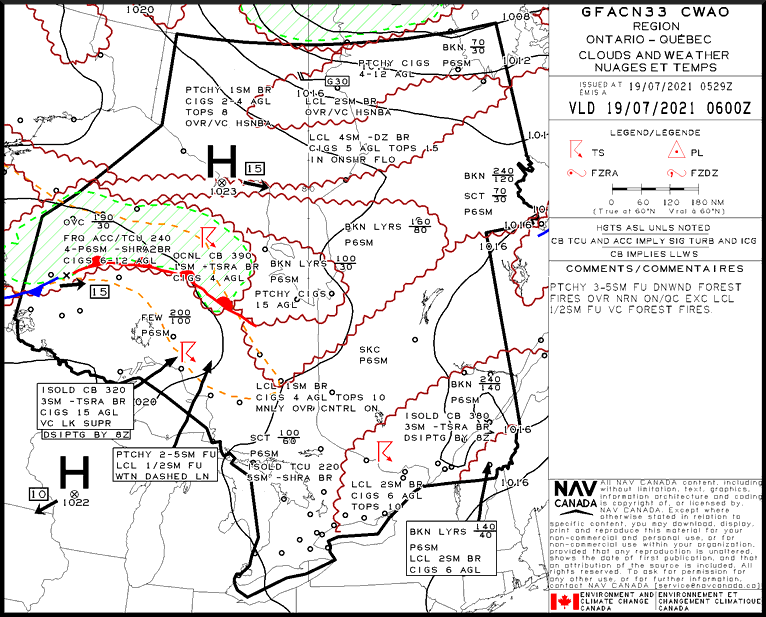
GFA – General
The GFA is designed primarily to meet general aviation and regional air carrier requirements for pre-flight route planning in Canada. It graphically describes the most probable meteorological conditions expected to occur between the surface and 24,000 feet over a given area at a specified time.
A graphic area forecast (GFA) consists of six charts:
- Two valid at the beginning of the forecast period
- Two valid six hours into the forecast period
- Two valid at twelve hours into the forecast period
Of the two charts valid at each time, one shows the clouds and weather portion; the other shows the icing, turbulence and freezing level for the same time and area. In addition, the clouds and weather chart of the last set also contains a worded instrument flight rules (IFR) outlook extending over the next 12-hour period.
A GFA is issued at 2330, 0530, 1130 and 1730 UTC, and are valid at 0000, 0600, 1200 and 1800 UTC respectively. Each GFA covers a period of 12 hours. There are seven GFA domains which cover the entire domestic airspace as well as a portion of Gander oceanic airspace.
Each graphic area forecast (GFA) chart is divided into four parts, the title box, legend box, comments box and weather information section.